


Industry
Heritage Conservation
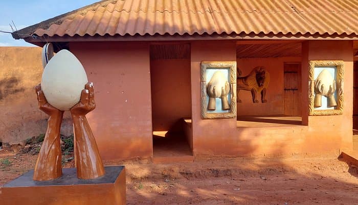
OHM WORKS documents, measures and models heritage sites for authorities, conservators, researchers and cultural institutions. Our flagship reference: the full LiDAR survey of the Royal Palaces of Abomey, a UNESCO-listed site, over 100 hectares for the Agence Nationale des Patrimoines Touristiques (ANPT).
- Royal Palaces of Abomey surveyed
- 100 ha
- Z-axis accuracy
- < 5 cm
- UNESCO-listed sites
- UNESCO
Applications
Under-canopy LiDAR surveys
High-density acquisition penetrating vegetation and tree cover — suited to archaeological sites, listed gardens and partially buried architectures.
Photogrammetric 3D modeling
High-resolution textured mesh for museum documentation, scientific communication and public outreach.
Conservation digital twin
Geometrically exact replica of the site for restoration planning, intervention simulation and team training.
Heritage documentation
Digital cadastral plans, elevations, sections and georeferenced cataloging — deliverables compliant with international archival standards.
Degradation monitoring
Repeated surveys to measure erosion, collapse and structural losses over time — basis for prioritizing emergency interventions.
Museographic restitution
Immersive media (VR, AR, web 3D) generated from the models, for cultural mediation on site or online.
Our method
A proven three-step protocol, from technical brief to delivery of usable data.
- 01Step 1
Brief & permits
Scoping with conservators and authorities (ANPT in Benin, Historic Monuments in France), UNESCO clearance for listed sites, access and occupation constraint analysis.
- 02Step 2
Combined acquisition
LiDAR + high-resolution photogrammetry as the site requires. RTK-located GCP targets, maximum overlap to preserve detail. Stable-weather flight, outside public visiting hours.
- 03Step 3
Museographic deliverables
Classified point clouds, high-resolution textured mesh, technical plans, archival metadata, long-term archive. CIPA and CIDOC-CRM standards.
FAQ · Frequently asked
The questions we hear most often.
Can a heritage-listed site be modelled without any ground intervention?
Yes. That's precisely what makes drones valuable for heritage. On the Royal Palaces of Abomey (UNESCO), we covered 100 hectares in LiDAR + photogrammetry without setting foot on the historic structures.
Does LiDAR see through invasive vegetation?
Yes, that's the main reason to use LiDAR on heritage sites. Multi-return echoes penetrate the canopy and reconstruct collapsed walls, residual foundations and historic paths hidden for decades.
What deliverables for a heritage classification file?
Navigable textured 3D model, classified point cloud, centimetric orthophoto, 2D plans (elevations, sections, façades), technical report with dimensional measurements. All usable for an ICOMOS or Heritage Directorate file.
How long for capture on a site like the Abomey palaces?
For 100 hectares in LiDAR + photogrammetry: 3 to 4 days of field work depending on weather. Processing: 2 to 3 weeks for complete deliverables (raw LiDAR, classification, DTM, CHM, textured 3D model of emblematic structures).
Are deliverables compatible with international heritage documentation standards?
Yes. LAS/LAZ formats for the point cloud (ASPRS standard), GeoTIFF for the orthophoto (OGC standard), OBJ/FBX/GLB for 3D, and possible exports to CIDOC CRM and IIIF standards for museum system integration.
Go deeper
Read the related technical article.

Technology · LiDAR
Airborne LiDAR in Benin: how it actually works
LiDAR penetrates the canopy, reconstructs the bare ground and models structures with centimetre accuracy — no climbing, no clearing. Here's how OHM WORKS runs the sensor on Beninese sites.