


Heritage · 2025
100 ha LiDAR survey of the Royal Palaces of Abomey
Complete airborne LiDAR survey of a UNESCO World Heritage site for the ANPT. Orthophoto, DTM/DSM, point cloud and full geometric extractions: road footprints, buildings, roofs, perimeter walls and miscellaneous structures.
- Client
- ANPT
- Location
- Abomey, Bénin
- Year
- 2025
- Key metric
- 100 ha · site UNESCO relevé en LiDAR

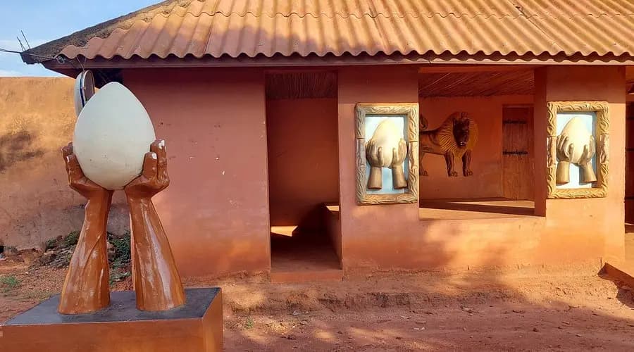
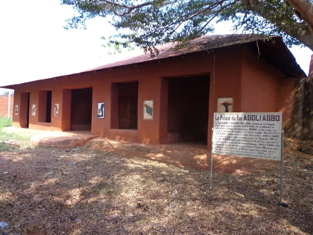
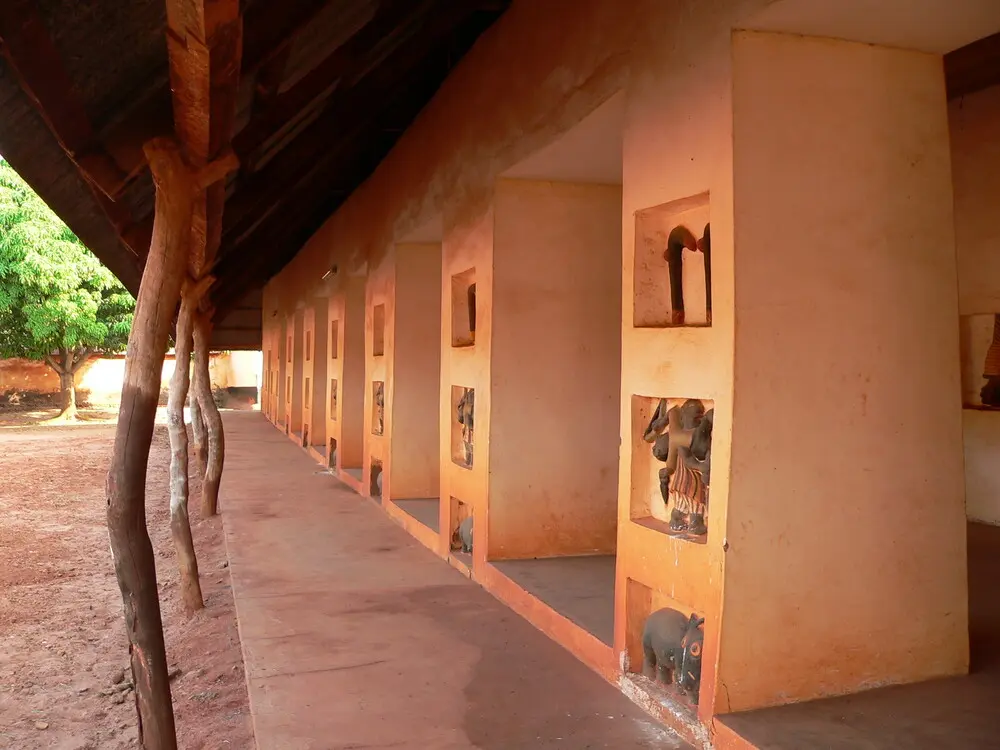
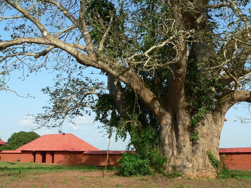
The context
The Royal Palaces of Abomey are one of the most emblematic UNESCO World Heritage sites in West Africa. Listed since 1985, the complex gathers several royal ensembles built across nearly three centuries, a material testimony of the Kingdom of Dahomey. Across 100 hectares, you find perimeter walls, royal courtyards, traditional raw-earth buildings and a heterogeneous tree cover. The structures show widely varying states of conservation: some still standing and maintained, others reduced to collapsed perimeter walls or residual foundations, sometimes swallowed by vegetation. This morphological heterogeneity, combined with vegetal heterogeneity (open zones / dense thickets), made any complete survey of the site a major technical challenge. The ANPT (Agence Nationale des Patrimoines Touristiques) needed a centimetre-accurate georeferenced reference dataset for two operational uses: steering site conservation over the long term, and supporting architectural studies for a museum planned at the heart of the complex. This reference had to cover all 100 hectares — built fabric, ground and canopy — without any human intervention on the historic structures.
Why LiDAR rather than a photogrammetric mission
A classical aerial photogrammetric mission would have cost three to five times less. So the question came up at scoping: why not stick with that?
Because an orthophoto, however high-resolution, only sees what's visible from above. On Abomey, that means the canopy top, emerging rooftops and open courtyards — but not the ground beneath. The Digital Surface Model derived from photogrammetry would have merged, in the same layer, the ground and the vegetation, with no way to distinguish one from the other. For a site where microtopography is itself historic — royal pathways, successive occupation levels, ancient drainage — that fusion would have been disqualifying.
Airborne LiDAR, by contrast, delivers three distinct and complementary models in the same mission: a DTM (Digital Terrain Model) reconstructing the bare ground under canopy, a DSM (Digital Surface Model) describing the vegetation and built fabric in their current state, and a CHM (Canopy Height Model) giving the actual height of each tree. These three products answer different questions — conservation, development, vegetation management — and are essential to fully exploit the heritage dataset.
On top of that, LiDAR can map elements hidden by vegetation: collapsed walls swallowed by bushes, residual foundations near the surface, historic paths overgrown today. Without touching the site, without clearing, without deploying a pedestrian survey team, the ANPT obtains a comprehensive reference dataset. The LiDAR-vs-photogrammetry cost premium is therefore largely amortised from the very first mission, through the multi-layer richness of the deliverable and the technical impossibility of obtaining the same result by other means.
Our method
Five days of field work in high-density airborne LiDAR, with a rigorous GCP-RTK protocol to anchor the cloud in the UTM 31N coordinate system. Double-grid flights at 80 % minimum overlap to guarantee uniform tree-canopy coverage. Prior coordination with ANAC Bénin, the ANPT and the site management to authorise flights over the listed structures. Processing took eight weeks of GIS engineering: GNSS post-processing, pass merging, automatic cloud classification (ground, low vegetation, high vegetation, built, collapsed walls), centimetric DTM generation, canopy height model and — most importantly — fine geometric extractions. This last point was specifically expanded to give the architecture office a maximum of 3D elements:
- Road and path elements
- Buildings: footprints and rooftops
- Walls and enclosures at multiple heights to locate openings
- Tree crowns and tops, tree trunks where possible
- Miscellaneous structures
What we delivered
- Classified, georeferenced LAS/LAZ point cloud (~10 pts/m² useful)
- High-resolution colour orthophoto (2-3 cm/pixel)
- DTM, DSM and CHM in GeoTIFF format
- Extraction of road and historic-path footprints (SHP)
- Extraction of traditional building footprints
- Extraction of perimeter walls and their remains
- Textured 3D model of the most emblematic structures (OBJ + GLB)
- Technical report with methodology, quality controls and achieved accuracy
The outcome
ANPT now has a centimetric reference dataset to steer site conservation over the long term. Historic paths are referenced; collapsed walls are mapped; building footprints are georeferenced. Every key dimension can now be read inside the 3D model with no new field trip. To our knowledge, this is the largest heritage LiDAR survey ever completed in Benin and one of the most emblematic in West Africa. The dataset also becomes a communicating base for international funding applications and tourism promotion of the site.
Beyond the mission: the value of a reference dataset over time
The true strategic gain of a LiDAR survey isn't measured on initial delivery. It's measured over three to ten years, as the site evolves and new questions arise. The archived point cloud becomes a temporal reference, comparable from one campaign to the next.
On a heritage site like Abomey, this comparison answers concrete operational questions: has the canopy gained ground on the built structures? Did walls shift after a particularly wet rainy season? Do completed works respect the footprints defined by the management plan? All these questions are answered by comparing two successive LiDAR clouds, down to the centimetre.
This logic transforms the very nature of heritage conservation: from a reactive approach — observe, then act when damage becomes visible — to a predictive one, where continuous measurement allows action before damage becomes irreversible.
Technologies used : LiDAR aéroporté · Orthophotographie · MNT / MNS · Extractions géométriques
Client : ANPT (Agence Nationale des Patrimoines Touristiques)
A similar project in mind?
Let's discuss — firm quote within 48 h.
XY accuracy < 3 cm, volumetric tolerance ± 1 %. Benin, West Africa and France.