🇧🇯 Designed in Cotonou, Benin

See far.
Decide right.

Drone & satellite solution for West African agriculture. From plant counting to crop stress, your analysis maps are ready to use within 72 h — on the platform, in the field, across your teams.

XY accuracy < 3 cm · Z < 5 cm
Certified ANAC Benin · DGAC France
Deliverables within 72 h
app.greenbrother.com / analysis / okpara
Drone view of a field analyzed on the Green Brother platform

Trusted drone survey office for public & private clients across West Africa

Why Green Brother

Measurable benefits, not promises

Our pilot clients measured these gains after a full season of drone monitoring.

− 30%
Farm inputs
thanks to variable-rate spraying plans
− 25%
Field time
problem areas identified before the visit
+ 15%
Yield
early detection of stress and anomalies
Our analyses

Six agronomic analyses, drone & satellite

RGB, multispectral, thermal or satellite imagery: we extract analysis maps that are ready to use as soon as they land on the platform.

Plant counting

Automatic detection and counting of plants across the entire plot. Detection of missing plants vs. the planting plan, targeted replanting.

Vigor map (NDVI)

Plant vigor index by zone. See at a glance the best-performing areas and those that need closer monitoring.

Weed detection

Mapping of weed patches and targeted spraying plan. Up to 75% herbicide savings compared to uniform treatment.

Waterlogging map

Identification of waterlogged and water-saturated areas. Zoned drainage plan, prevention of root asphyxia.

Canopy cover

Percentage of vegetation cover by zone. Growth monitoring, season-to-season comparison, detection of phenological delays.

Crop stress

Thermal + NDVI combination to detect water, nutrient or pest stress before symptoms become visible on the ground.

How it works

From your field to your dashboard

A controlled protocol from takeoff to agronomic decision. You stay focused on your crops, we handle the data.

1

Acquisition

Drone or satellite, depending on the frequency and accuracy required. RGB, multispectral, LiDAR or satellite imagery. GSD down to 3 cm/pixel.

2

AI processing

High-precision photogrammetry on our servers. Orthomosaic generation and computation of agronomic indices.

3

Platform

Your maps appear on your dashboard within 72 h. Flight-to-flight comparison, automatic alerts, agronomic AI BOT.

4

Field actions

Spraying plans, variable-rate fertilization, drainage zoning. GIS exports (.shp), PDF reports ready for your teams.

Sectors

Adapted to every crop

Our protocols are calibrated for the agricultural diversity of West Africa and beyond.

🌽

Row crops

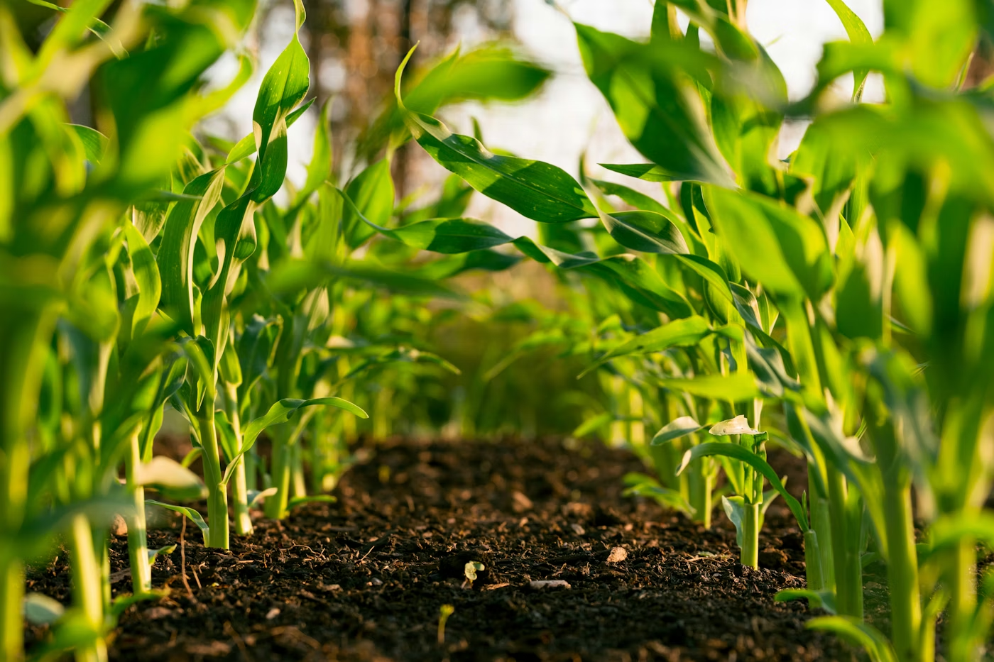
Maize, soybean, sorghum, millet — counting, vigor, weeds

🌴

Perennial plantations

Oil palm, cocoa, coffee, cashew — counting, stress, canopy

🌾

Irrigated rice

NDVI vigor, waterlogging, paddy anomalies

🍇

Vineyards

Flowering, canopy, water stress, plot heterogeneity

🌳

Forestry & agroforestry

Inventory, biomass, reforestation monitoring, carbon sequestration

🏭

Agro-industry

Stockpile volumes, HSE compliance, infrastructure monitoring, 3D twins

Case studies

Results in the field

Missions delivered for public and private clients in Benin and West Africa.

Oil palm

Alada plantation

Alada · 60 ha

8,547
Palm trees counted
99.2%
Accuracy
4 zones
To replant

RGB counting mission over 60 ha with automatic detection of missing palm trees. The 4 replanting zones in the south-east were mapped and the action plan handed over to the field teams.

"We saved two weeks of manual counting and identified 213 missing trees we would never have spotted on foot."
Farm manager · Alada plantation
Maize / Soybean

Okpara Farm

SoNaMA · 200 ha · Parakou

6
Analyses delivered
+ 6%
Vigor vs. last season
21 ha
Targeted plan

Full package over 200 ha: counting, NDVI vigor, weeds, waterlogging, canopy, crop stress. Automatic generation of the variable-rate fertilization plan for low-vigor zones.

"The multi-analysis report allowed us to prioritize 21 ha — a net saving of 18% on the season's input budget."
Technical direction · SoNaMA
Frequently asked questions

What we get asked the most

How soon do we receive the analyses after a flight?
Standard delivery is within 72 working hours after the flight for RGB and multispectral analyses. For LiDAR missions (larger data volumes), allow 5 to 7 working days. For urgent needs, we can deliver within 24 hours (express package, on quotation).
What accuracy can we expect?
Our reference standards for drone missions: XY planimetric accuracy < 3 cm, Z vertical accuracy < 5 cm, GSD resolution down to 3 cm/pixel, volumetric tolerance ± 1%. These accuracies are guaranteed with the use of GCP ground control points and an RTK station. For satellite monitoring (resolutions from 30 cm to 3 m/pixel depending on revisit frequency), we combine several commercial and open-data sources to optimize cost and image freshness.
What deliverable formats do you provide?
PDF reports (agronomic summaries + recommendations), georeferenced GeoTIFF orthomosaics, shapefiles (.shp) for QGIS / ArcGIS integration, LAS/LAZ point clouds for LiDAR missions, OBJ / FBX 3D models, spraying plans compatible with DJI Agras drones.
What data sources and sensors do you use?
Drones: professional DJI fleet (Mavic 3 Enterprise, Mavic 3 Multispectral, Matrice 350 RTK), MicaSense / Sentera multispectral sensors, DJI Zenmuse L1/L2 LiDAR sensor depending on the mission. Pilots certified by ANAC Benin and compliant with DGAC France.

Satellite: Sentinel-2 imagery (10 m, free, 5-day revisit) for seasonal vigor monitoring, Planet Labs (3 m, daily) and Airbus Pléiades / SPOT (50 cm to 1.5 m) for high-resolution analyses. Alternating drone + satellite optimizes cost while keeping a close monitoring frequency.
Do you only work in Benin?
Our operational headquarters are in Cotonou (Benin) and we also operate in France (Changé). We regularly work across West Africa — Togo, Côte d'Ivoire, Ghana, Burkina Faso — and occasionally in Europe. The Green Brother platform works anywhere in the world.
How does an evaluation pilot work?
A 3-month pilot phase at a reduced rate (− 50%), including: 1 h kickoff video call, 1 drone flight over your plot, platform delivery with real data, 45-day review and end-of-pilot debrief. Strict commitment: if the value isn't demonstrated within 90 days, you simply don't renew — at no cost.
Is my data confidential?
Yes. Hosted at OVH France (Roubaix), ISO 27001 certified. Your data remains your exclusive property, never resold or shared. Every client signs a GDPR-compliant DPA (Data Processing Agreement). For sensitive missions, sovereign African hosting is available.
Start your pilot

Ready to turn your fields
into actionable analysis maps?

Request a personalized demo. We'll show you the platform with your own fields and offer you a 3-month pilot at a reduced rate.

Reply within 24 working hours · Free quote · No commitment